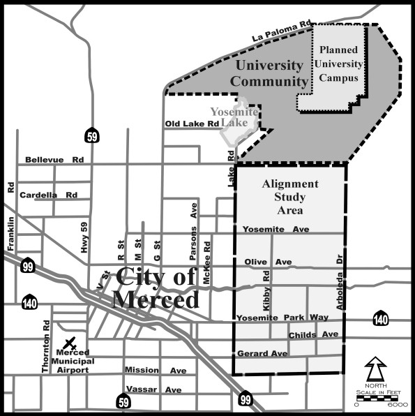
Showing the new campus relative to the Merced region...
Showing possible `Campus Parkway' access routes, all in the `Alignment Study Area' shown above...
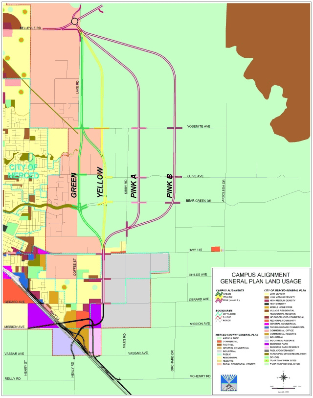
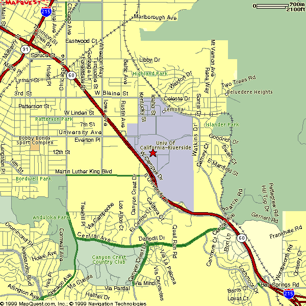
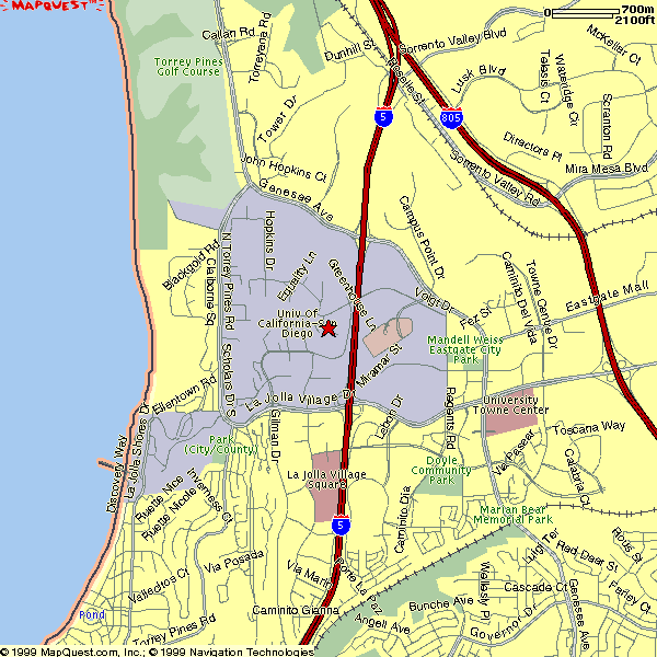
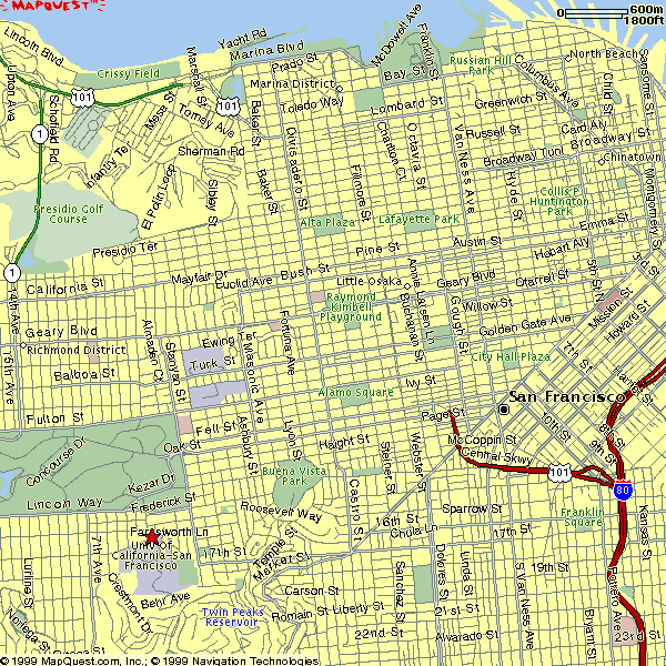
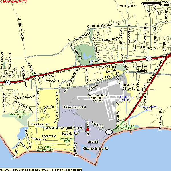
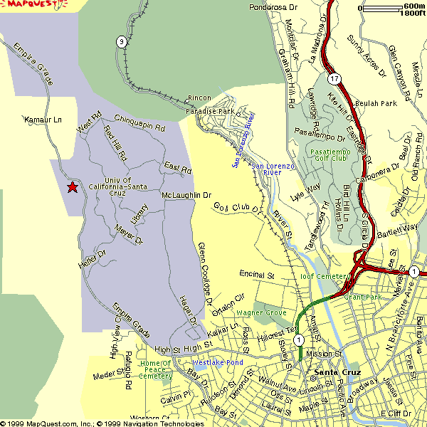
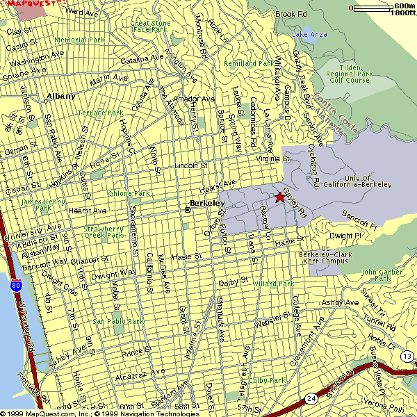
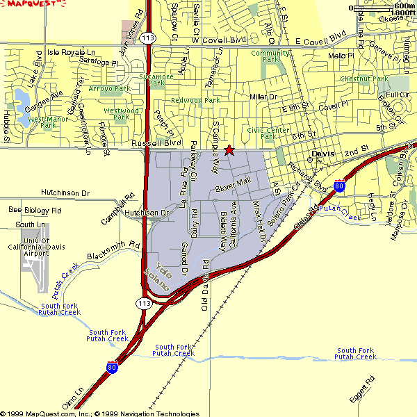
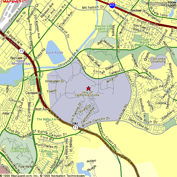
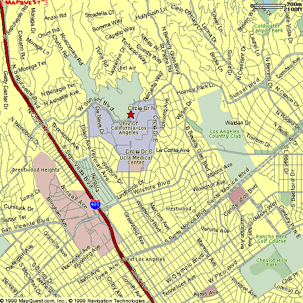
Most of these maps are from Mapquest. UC Campuses are shaded in light purple/gray; in two cases (Davis and Santa Barbara) the campuses are not clearly labeled. UC Merced has not been built yet, but planned access routes are shown; these maps are taken from Merced County's Public Works Department, which is participating in the making of the UC Merced University Community Plan.
Clicking on the campus name will take you to that campus' map and driving directions to campus, except for Davis and Santa Cruz, where the driving directions are under a subsequent link.
The 3 older, urban campuses (Berkeley [established in 1868], San Francisco [1873], and Los Angeles [1919]) do not have direct freeway access, although the Interstate 405 is very close to UCLA. Among the newer campuses, 5 have direct freeway access (Davis [1908 as the University Farm, 1959 as a General Campus], Irvine [1965], Riverside [1954], Santa Barbara [1944], and San Diego [1959]). The central part of the Santa Cruz [1965] campus is about 1 mile by road from the end of the nearest freeway (Highway 1). The Merced Campus [2004] is 5 or 6 miles from the nearest freeway, Highway 99, and a new road, the Campus Parkway, is planned between the campus and the 99.
The UC Office of the President maintains a document with an overview of the various campuses, including statistical data, known as the Profile.